StoryMaps
What are StoryMaps?
DPhil student Courtney Stuart has developed interactive ArcGIS StoryMaps to distil and share the latest seascape science and its real-world applications. StoryMaps are a powerful tool for creating visual narratives, combining live maps, text, images, and interactive elements to make storytelling both engaging and informative.
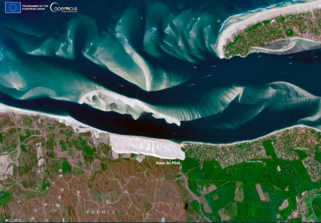
Seascape Restoration in the Bassin d’Arcachon
Arcachon Bay (Bassin d'Arcachon) is a dynamic mosaic of coastal ecosystems, including saltmarsh, seagrass beds, oyster beds, and sand dunes, which support regional biodiversity and ecological function. The bay is renowned for its shellfish production and coastal recreation, both of which depend on a healthy marine environment. However, these activities also place intense pressure on the seascape, contributing to the decline of some coastal ecosystems and underscoring the need for sustainable management. In this StoryMap, we take you on a tour of Arcachon Bay, exploring its ecological and socio-economic history, and highlighting current restoration approaches and future targets informed by cutting-edge seascape ecological theory.
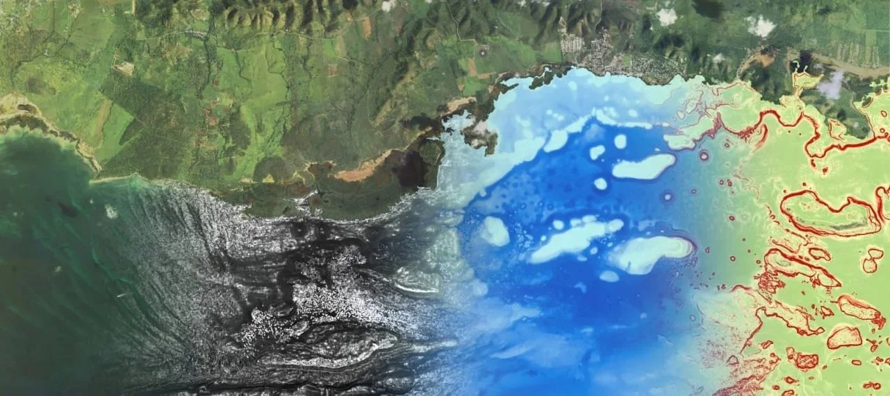
Marine Remote Sensing and Seascape Ecology Applications
Advancements in satellite technology over recent decades have significantly improved our understanding of marine ecosystems. In this StoryMap, we partner with Planet Labs to summarise studies that have used satellites and other remote sensing tools to explore mangroves, seagrasses, kelp forests, and saltmarshes. These case studies also highlight how research on connectivity, scale, and species’ spatiotemporal distributions is central to informing effective management, conservation, and restoration efforts.
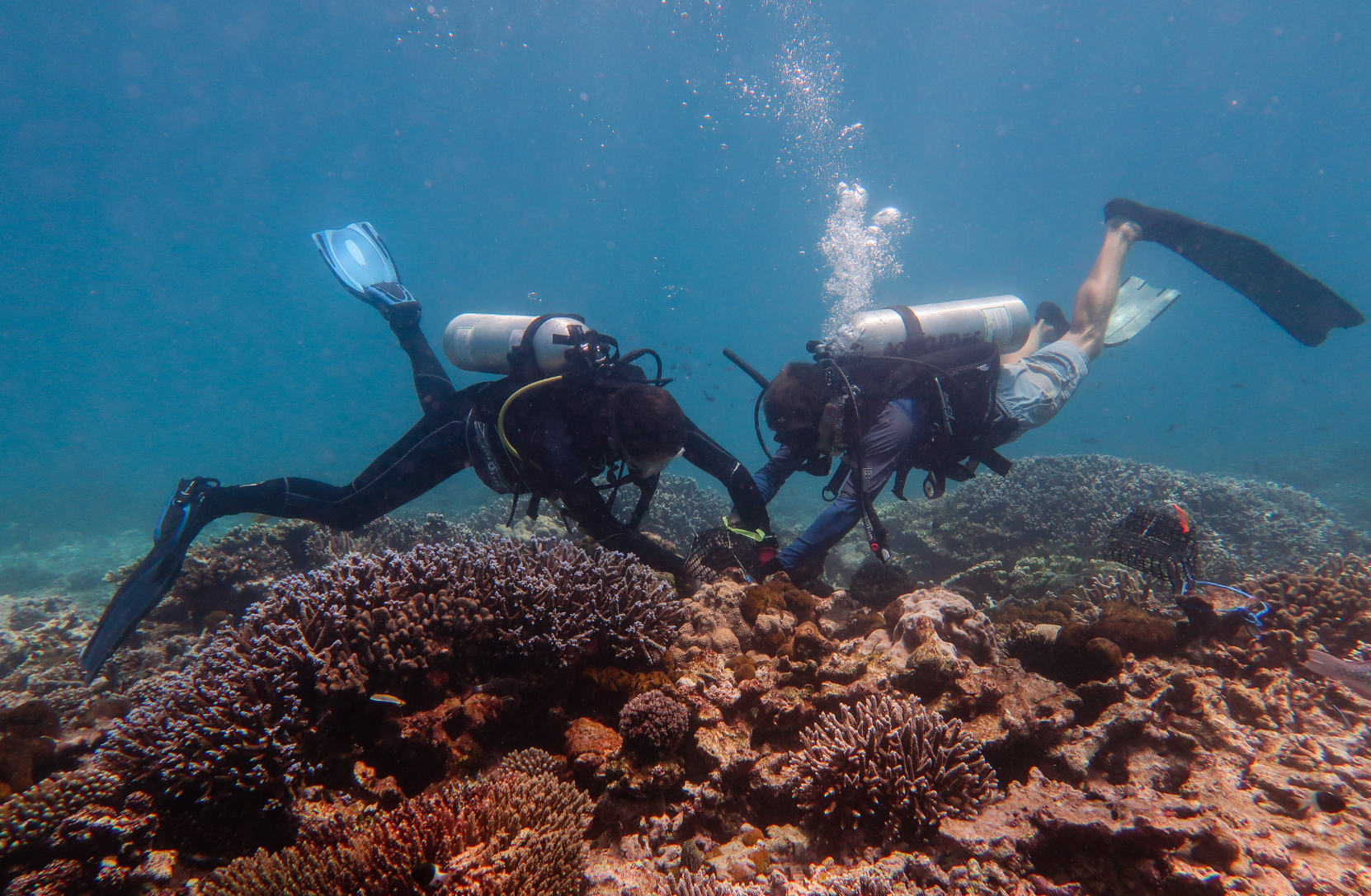
Mapping Conservation Seascapes
The 5Cs of Seascape Ecology — Context, Configuration, Connectivity, Consideration of Scale, and Culture — interlink theory with practice and are essential to the success of ongoing and future marine conservation and restoration initiatives. In this StoryMap, we define each of the 5Cs and illustrate their application through case studies drawn from published literature around the globe. It’s designed to kickstart your engagement with seascape thinking.
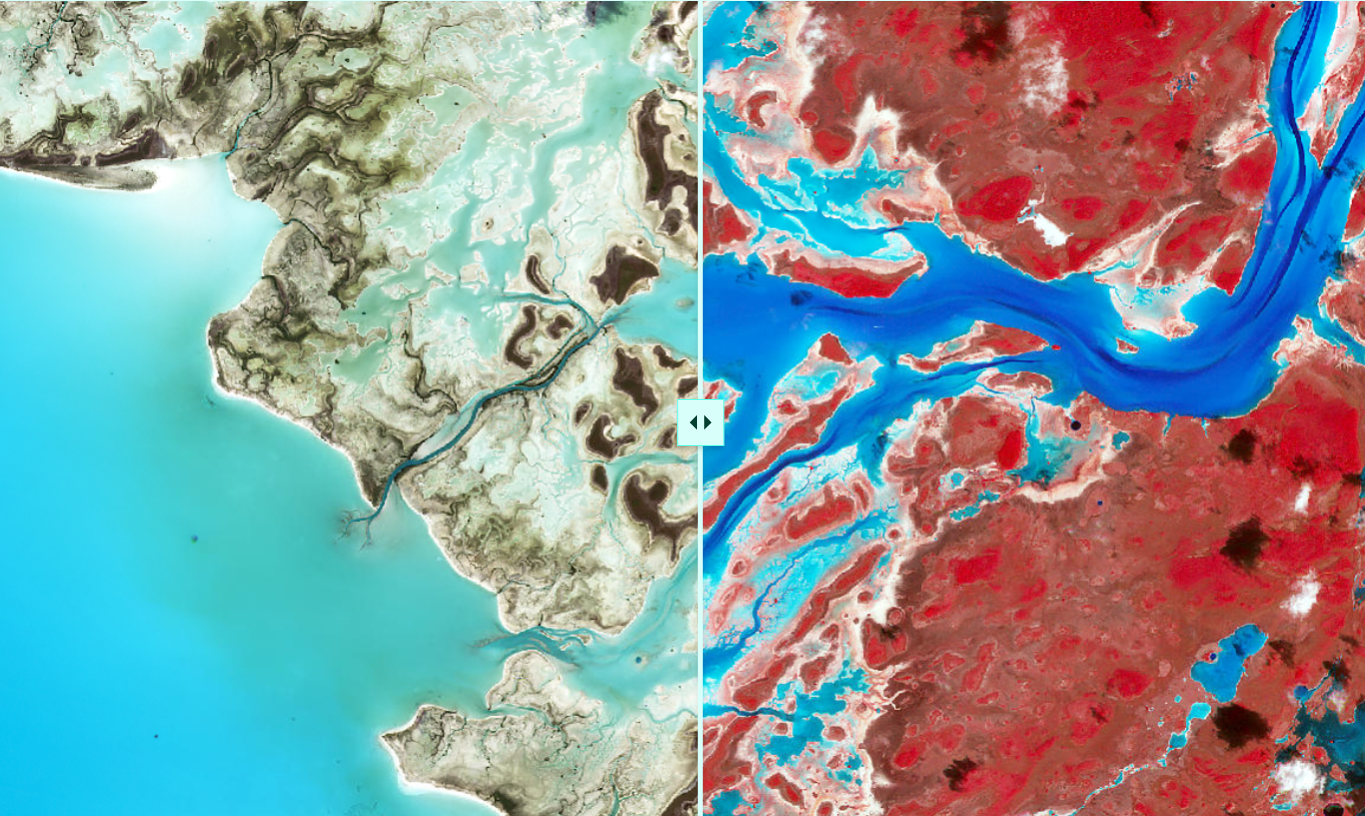
Fieldwork Tales: Studying land-sea connections
Seabirds are globally important transporters of nutrients, feeding at sea and returning to deposit them on islands. These nutrient subsidies support productivity and biogeochemical cycling both on land and in nearby shallow reefs.
In July 2022, a team from the Oxford Seascape Ecology Lab and the Oxford Ecosystems Lab travelled to a coral atoll in French Polynesia to collect ecological data as part of a novel, multidisciplinary science programme investigating seabird-derived nutrient subsidies across islands and reefs. This StoryMap offers a virtual introduction to the study site, the team, their methods, and some preliminary results.